Connect at 2024 IEEE International Geoscience and Remote Sensing Symposium (IGARSS)
Join us at the 2024 IEEE International Geoscience and Remote Sensing Symposium, proudly sponsored by EarthDaily Analytics. This prestigious event, hosted for the first time in Greece, will take place from July 7th to 12th, 2024, at the Megaron Athens International Conference Center. It is the leading meeting of over 2,500 esteemed scientists and professionals in the remote sensing field worldwide, fostering the exchange of views, sharing of experiences, and training of younger scientists, while opening new perspectives for research development and investments in the sector.
Under this year’s theme, “Acting for Sustainability and Resilience,” we anticipate stimulating enlightening debates for opening science and innovation, towards the creation of innovative solutions for the benefit of societies.
Connect with us at
EO Summit in London!
Workshop:
Utilizing dual-use space assets to support environmental and maritime security
Today the use of space is relevant for both science and security. Join this workshop to review and discuss the themes and challenges of using systems and data for dual-use purposes, and help define what the well-used term dual-use means.
The session, led by BAE Systems, will begin with a short view on dual-use followed by an expert panel discussion, the opportunity to give your views in a round table session followed by networking with all attendees.
Session hosted by Markos Trichas & Peter Stocken, BAE Systems.
Date:
Monday, 8 July 2024 | 1:40 - 3:50 PM
Event Location:
Lambrakis Hall, Megaron Athens International Conference Centre

Earthdaily Analytics Presenting:
Peter Round
VP, Business Development - Defence & Intelligence
Workshop:
EarthDaily Industrial Workshop
The number of available satellites and sensors from both public and private sector, acquiring at different temporal and spatial resolutions and covering different part of the electromagnetic spectrum, has increased exponentially over the last years. With the arrival of the EarthDaily Constellation, allowing for daily coverage of nearly 100% of the Earth’s landmass every day and up to 5m GSD in wavelengths ranging from visible to thermal infrared, new opportunities arise to use dense time series to tackle numerous scientific and economic opportunities and solve subsequent challenges. Among those challenges, those related to sustainability plays a critical role for the future of human society, especially by addressing biodiversity, agriculture and food security, water, or soil issues. The workshop panellists will elaborate and dig into those topics through two distinct discussions.
Panelists:
- Prof. Dr. Inbal Reshef, NASA Harvest Director
- Steven Krekels, Vito (RS Unit manager)
- Dr. Devis Tuia, EPFL
- Dr. Zoltan Szantoi, ESA
- Sven Gillians, Director of GEOGLAM
- Chris Rampersad, EDA, VP Engineering
- Dr. Harold Clénet, Scientific Lead & Head of Data Science Team, EDAgro
- Prof Dr Gustau Camp-Valls
Moderators:
- Gunter Schreier, German Aerospace Center (DLR)
- Dr Athanasios Ganas, National Observatory of Athens (NOA)
Date:
Monday, 8 July 2024 | 3:20 - 4:20 PM
Event Location:
N. Skalkotas Hall, Megaron Athens International Conference Centre
Round A discussion topic:
The first round of discussion will focus on data and its complementarity with multiple EO missions and technologies in a new age of data fueled by advanced algorithms and AI. Panelists will discuss the need for standardization, algorithm sharing, data quality benchmarks, and how space agencies and commercial constellations can collaborate to address the world's most pressing challenges, considering the wide range of data and integrated services available by space agencies.

EarthDaily Analytics Presenting:
Chris Rampersad
VP Engineering
Round B discussion topic:
The second round of discussion will explore the potential of dense time series and artificial intelligence in unlocking new scientific developments and innovative applications, particularly in sustainability, biodiversity, agriculture, and food security. It will provide technical insights, address commercial and technical barriers, and explore how remote sensing and AI can be combined to address key challenges, particularly in addressing climate change.

EarthDaily Agro Presenting:
Dr. Harold Clénet
Scientific Lead & Head of Data Science Team
Connect with us at at the 2024 IEEE International Geoscience and Remote Sensing Symposium and schedule a meeting to know more about EarthDaily!

Attending:
Chris Rampersad
VP Engineering

Attending:
Peter Round
VP, Business Development - Defence & Intelligence

Attending:
Anne Dubois

Attending:
Dr. Harold Clénet

Attending:
Cecile Tartarin
Head of R&D, EarthDaily Agro

Attending:
Dr. Nicos Spyropoulos
EarthDaily Analytics

Anne Dubois
Since 2021, Anne Dubois has been leading the R&D stream at EarthDaily Agro, spearheading funded projects with international partners. Her leadership brought a notable achievement in March 2022 when EarthDaily Agro won the 2022 I-Nov Innovation Competition.
Anne appreciates EarthDaily Agro for its extraordinary combination of an international and responsive working environment alongside cutting-edge space technologies. She strongly believes in the power of Earth Observation to drive smart decision-making, ensuring quality food and environmental services while preserving our planet's beauty and diversity.
EarthDaily Constellation Value
EO Data That's Built for AI
EarthDaily is on a mission to bring the world’s most advanced change detection system to market. Our Earth Observation (EO) data and platform delivers highly daily, scientific-quality data to help unlock scalable, actionable insights. Join our global network of foundational partners and see how next-generation EO data that's built for AI can help you build innovative solutions for your customers.
Analysis-Ready
Consistent across pixel color, size, and location, plus high signal-to-noise ratio.
Broad Coverage & High Revisits
~100% of Earth’s landmass imaged at the same time every day, with a string of pearls constellation design.
High Scalability
Automated cloud-native processing from raw data stream through to analysis-ready data.
Spectral Diversity
22 highly calibrated spectral bands covering
Visible, Near-, Shortwave-,Mid-wave-, and Thermal-Infrared bands.
EarthDaily Constellation dataset highlights
Best practices for space mission design
Rigorous pre and post launch calibration in addition to meticulously maintained orbit and attitude control
Data quality
Analysis-ready with push-broom imagers and time-delayed integration to achieve high signal-to-noise ratios.
Spectral Diversity
Industry leading spectral quality and range with 22 highly calibrated spectral bands covering Visible, Near-, Short-wave-, Mid-wave-, and Thermal-Infrared bands
Optimized coverage and revisit frequency
Imagery collected daily over the same location at the same time. Capturing nearly 100% of the Earth’s landmass and maritime legions, empowered by a string of pearls constellation design.
Historical data available
With no tasking needed, the Earth’s entire landmass is imaged and archived every day supporting retrospective time series analysis and forward-looking predictive analytics
Spectral Diversity
22 highly calibrated spectral bands covering
Visible, Near-, Shortwave-, Mid-wave-, and Thermal-Infrared bands

Everywhere. Everyday.™
The world’s most advanced Change Detection system is finally a reality.
EarthDaily’s unique data source allows us to solve the following challenges:

Fraud Detection and Prevention
Earth observation data combined with advanced geospatial analytics can be employed to detect and prevent fraudulent activities related to insurance claims or banking transactions.
Ecosystem Monitoring
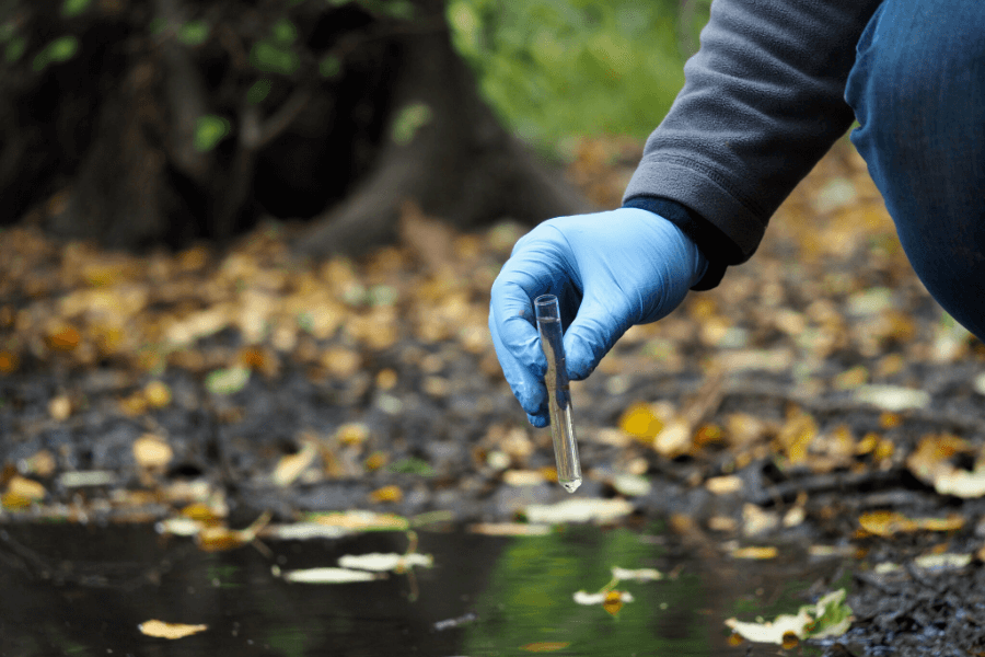
Earth observation data can also be used to monitor environmental changes and assess potential risks related to climate change. By providing accurate, real-time information, EO technology enables better decision-making and proactive measures to mitigate adverse impacts, ultimately supporting sustainable development and environmental conservation.
Forest Productivity and Resilience
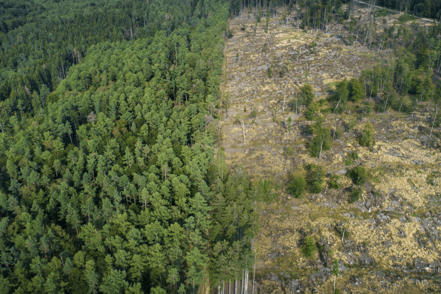
Diversity, composition, structure and regeneration are all at-risk areas in forest management. It is in the interests of both the public and private sectors, ecologically and commercially, to be able to develop and deploy best practices. Analysis Ready Mosaics will also help identify patterns shaping the forests.


Security for Food & Beverage
With the EarthDaily Constellation, food & beverage manufacturers will be able to reduce their vulnerability to supply disruptions, enabling them to manage demand through proactive pricing strategies.
Digital Ag
With the EarthDaily Constellation, digital ag companies will be able to maximize crop input efficiency, enhance their crop protection, manage trials, verify sustainability, measure weather impacts and more.
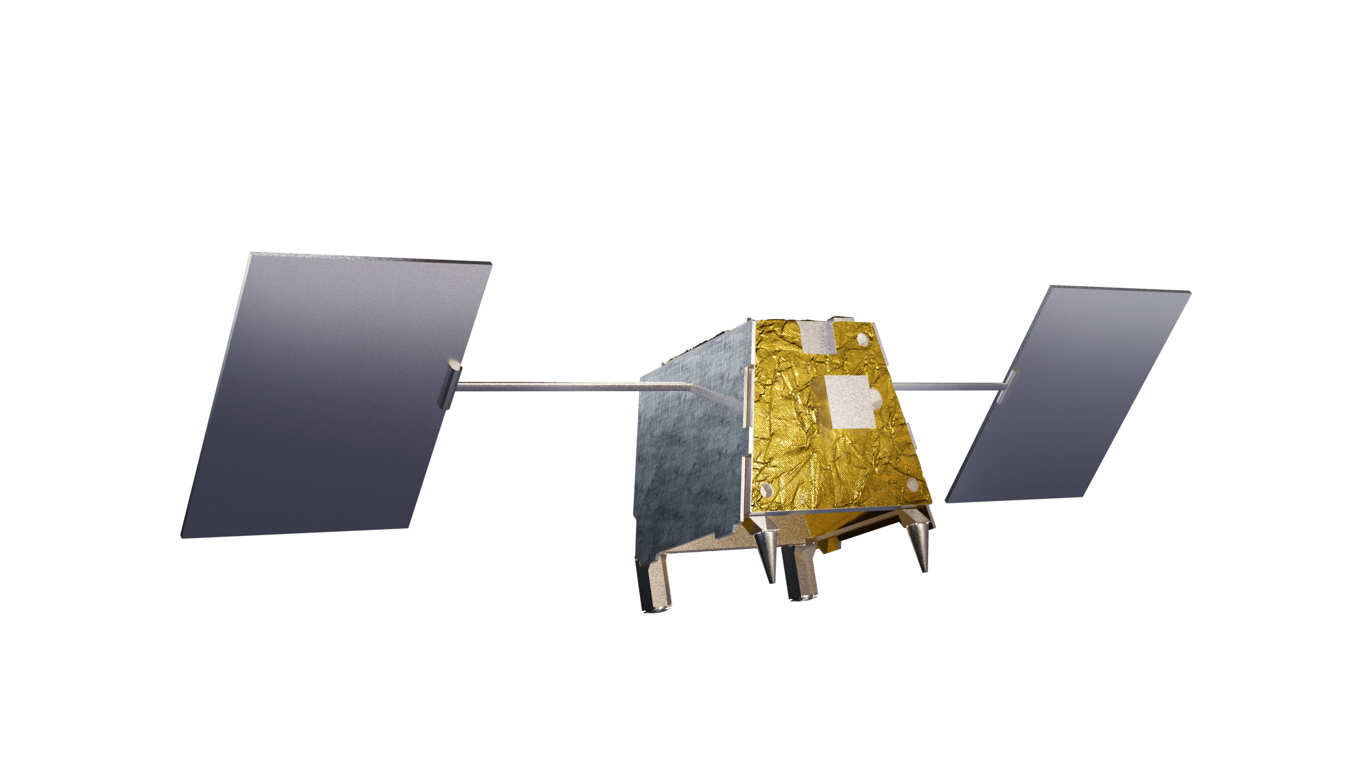
Partnering with Airbus, SpaceX, AWS, ABB Group, INO, and Xiphos Technologies, EarthDaily Analytics is launching the world’s most advanced change detection system — the EarthDaily Constellation.
